Faro Airport (FAO)
Orientation and Maps
(Faro, Portugal)
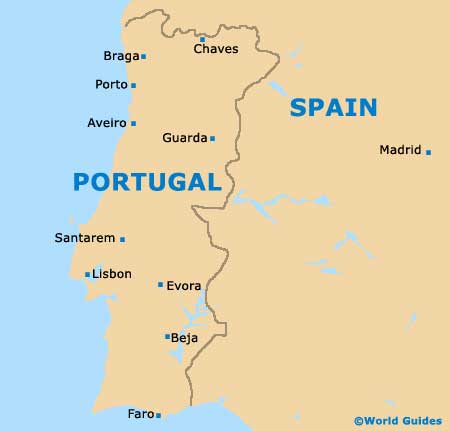
Faro is located in the popular Algarve area of Portugal, being located on the country's southernmost coast, close to the Spanish border. Near to Faro, Olhao, Piares and Fuseta lie to the east, while Loulé and Vale Judeu can be found to the north-west.
Directly east, Portugal's Faro Airport (FAO) lies along the shoreline, in the Montenegro area. Other notable locations nearby include Fonte do Touro, Quinta das Raposeiras, Almargens and Sao Brás de Alportel, all of which are sited to the north. Further afield, Seville is within driving distance and can be reached in less than three hours.
Portugal Faro Airport (FAO) Maps: Important City Districts
The most historic and well-preserved part of the city, the Cidade Velha area of Faro faces the harbour and features a number of cobblestone streets and brightly coloured buildings, being surrounded by old city walls. This area is known for its 18th-century city gate (Arco da Vila), which is situated next to the tourist information centre.
Within the very heart of Faro you will find an appealing pedestrianised area, with a good selection of shops standing on both sides of the Rua de Santo António. A high concentration of restaurants and cafes also reside in this part of the city, many of which feature tables along the pavements. Those looking for the best nightclubs should look along the streets of the Rua Conselheiro Bivar and the Rua do Prior.
The city's main beach is without doubt the Praia de Faro, which is situated to the south-west of the centre, on the Ilha de Faro. This beach is typical of those found in the Algarve, featuring stunning sand and sheltered areas. Being especially close to the airport, the area around the beach has been heavily developed in recent years, with many restaurants and bars nearby.
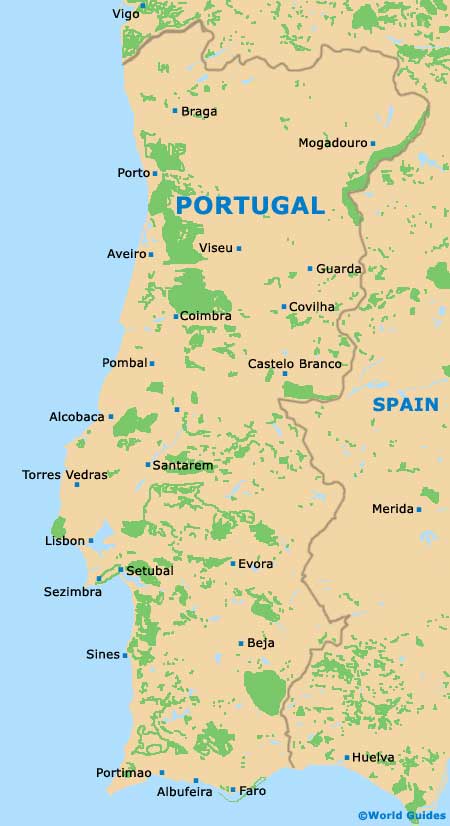
Portugal Map
Faro Map

